After a long day of driving from
Victoria and sightseeing along the way we finally arrived in
Tofino and headed to the house we had rented for the next four nights. Since it was already pretty late in the day we grabbed some grub from
Kuma and settled in for the night, as the next three days were going to be action packed!
 |
| A map of Pacific Rim National Park Reserve and the Tofino area. |
The next morning we woke to rain, not uncommon for the Tofino area, and decided to tackle the Canso Bomber plane crash hike in
Pacific Rim National Park Reserve. Although the hike is not recognized as an official trail by
Parks Canada, the trailhead is still relatively easy to find if you know where to look.
 |
| Our place in Tofino |
 |
| The view from the upstairs deck |
The Royal Canadian Air Force Canso 11007 Bomber crashed shortly after takeoff on February 12, 1945 at 23:00 hours and is surprisingly fairly intact considering the damage sustained during the crash. This particular stretch of coastline was Canada's frontline during World War II and there was a lot of concern that Japanese submarines could mount an attack. Bomber planes, like the Canso, were constantly patrolling the area ready to bomb approaching enemy troops.
 |
| The plane would have looked similar to this before crashing. Photo from The Calgary Herald. |
The plane was carrying twelve passengers, all of whom survived, as well as 3,400 litres of fuel, and four 100-kilogram depth charges that were intended for enemy submarines. Lance Lake, one of the crewman aboard later wrote that the port engine lost all power, ultimately causing the crash. Ron Scholes, the pilot, sent the plane into a full stall, an expert move that allowed the plane to slow down before crashing into the trees. It's also likely this maneuver was the reason everyone wasn't killed considering the half-ton of explosives that were still onboard.
After spending the remainder of the night camped under parachutes, the team was rescued eleven hours later by a ground crew. Later, the army returned to the crash site and detonated the bombs, creating a larger crater that is still there today, albeit now filled with water. They also removed the electronics and the machine guns from the aircraft.
To access the plane we parked at the bottom of Radar Hill, so named for the radar stations that were hastily erected there after the bombing at Pearl Harbor. From there we walked south along Highway 4 for exactly fifteen telephone poles. Since this is an unofficial trail there is no trailhead sign, although someone has drawn a small airplane on the telephone pole that marks the trail's entrance. The hike itself is approximately 2km to the plane, but you have to hike through a very muddy bog. The first section of the trail is easy, wide, and relatively well used. After a short time you will reach an abandoned building; the remains of a radar station that worked in conjunction with the one atop Radar Hill. At this point you can choose to go around the outside of the building to the left, or go through it, which is the more entertaining option, and exit through the back on the left. From here the trail deteriorates rapidly and the conditions worsen. Be prepared for very muddy conditions. The unseasonably warm temperatures that were present before we arrived alleviated some of the obstacles, but there was still an awful lot of mud to contend with. It's also worth noting that getting lost in the bog section is easier than you'd think. There is a maze of trails leading every direction from people attempting to find a way around the mud; there isn't one. Luckily Parks Canada has tied a rope covered in flagging tape through the trees. It doesn't offer much support in getting through the mud, but if you follow the rope it will prevent you from veering off course. Every year rescue personnel are called into the area to rescue people who have become lost. We had no issues finding the plane and the hike in took us about 1.5 hours.
 |
| The easy, first section of the trail |
 |
| Inside the abandoned radar station |
 |
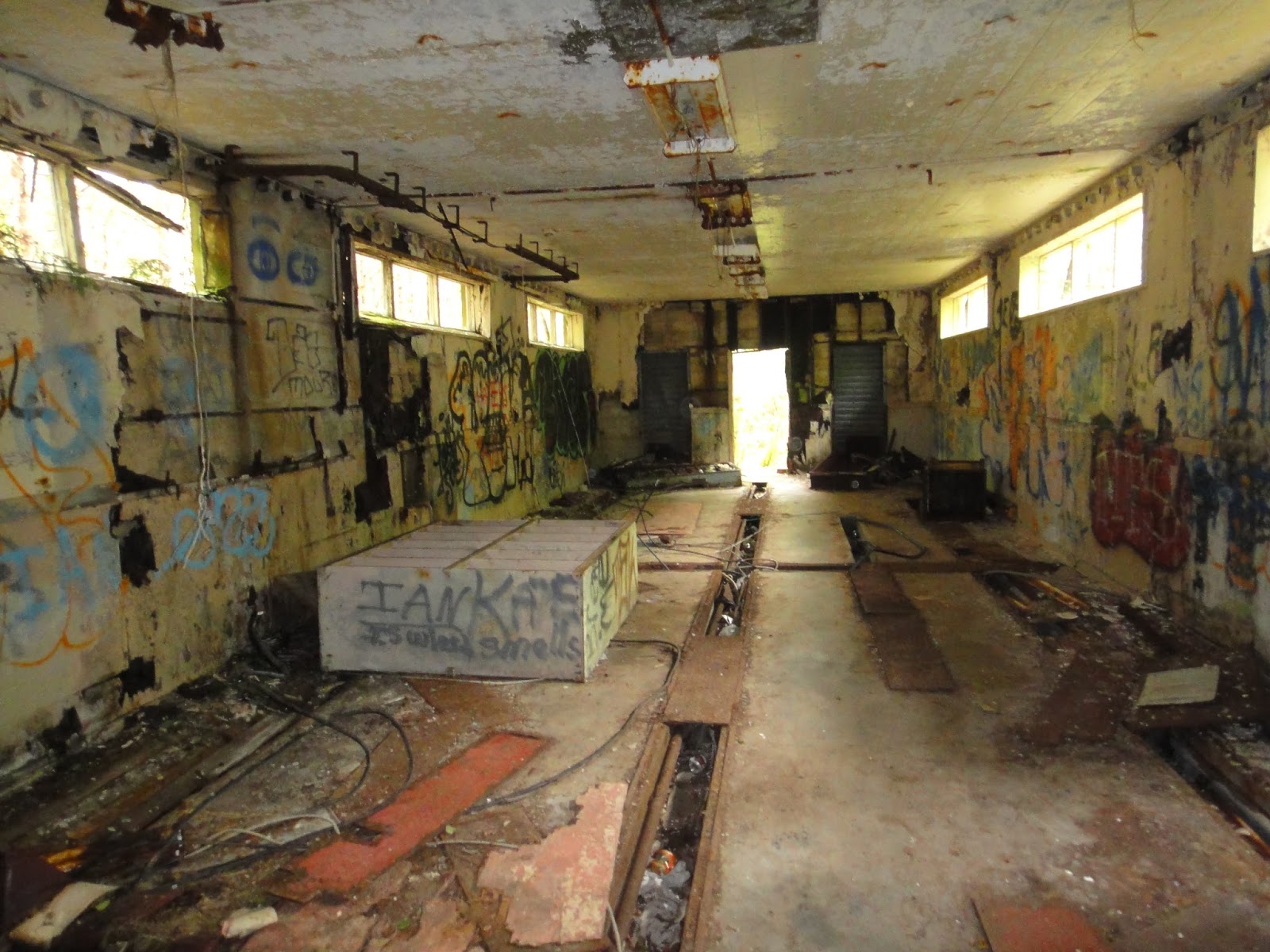
| I would agree with this graffiti, although without all the bitey dinosaurs! |
 |
| Christine about to enter the marshy section |
 |
| Trying to navigate a particularly muddy section of trail |
 |
| The round crater where the depth charges were detonated |
 |
| Our first view of the aircraft |
 |
| The remains of the Canso Bomber |
 |
| This wing is still attached to the body of the plane |
 |
| Tail section of the plane |
 |
| Time to head back |
 |
| Muddy Selfie! |
 |
| A very muddy and happy dog! |
 |
| We made it back to the radar station in one piece! |
After showering and getting cleaned up we headed for
Tofino Brewing Co., a local establishment that brews some wonderful beers.
 |
| Ben and I with some of Tofino Brewery's finest |
The next day was filled with surfing, one of the biggest reasons we came to Tofino in the first place. We rented boards and wetsuits from
Sepp Bruhwiler's Westside Surf and immediately headed for
Chesterman Beach. Christine and I spent the entire morning in the water at South Chesterman, before meeting the rest of the group at North Chesterman for the afternoon. I think we spent about five hours in the water and were exhausted and hungry at the end, but extremely satisfied with the day. We headed over to
Tacofino, a must-visit permanent food truck, for some post-surfing eats. After some afternoon relaxation, we drove back to Pacific Rim National Park Reserve to do a short hike before dinner. We headed for
Wickaninnish Beach and the
Kwisitis Visitor's Centre. We only had time to do one hike, so we chose the 800-metre South Beach Trail, which was filled with great ocean views and the secluded pebble-covered South Beach. This beach has also been called Whistling Beach, because when the waves strike the beach and retreat to the ocean, the resulting movement of pebbles makes a whistling sound.
 |
| A rainy and foggy Chesterman Beach |
 |
| Wickaninnish Beach |
 |
| The rugged West Coast |
 |
| Chris and I exploring the beach |
 |
| A Bald Eagle perched high in a tree with the moon behind |
 |
| This is a Welcome Totem that would have greeted guests arriving via boat |
 |
| A large Banana Slug along the South Beach Trail |
 |
| South Beach aka Whistling Beach |
Earlier in the week we reserved seats on board the Leviathan II, a 65ft covered cruiser vessel owned and operated by
Jamie's Whale Watching & Adventure Centre. We were headed into Clayoquot Sound in search of whales! This was the first time Christine and I had been on an official whale watching adventure and were very much excited for it. We were treated to a host of local wildlife, including Bald Eagles, Sea Otters, Harbour Seals, Stellar Sea Lions, and Grey Whales. It was great getting a water-front view of the rugged west coast wilderness and some of its local inhabitants.
 |
| Bald Eagle |
 |
| Sea Otter |
 |
| Harbour Seals |
 |
| Grey Whale spouting in Cow Bay |
 |
| A Grey Whale near our boat |
 |
| There were several Grey Whales feeding in the shallow water of Cow Bay |
 |
| Eventually the fog started to lift revealing beautiful mountain scenery |
 |
| Stellar Sea Lions |
 |
| Sleeping in the sunshine on Sea Lion Rock |
 |
| A misty island of trees |
When whale watching ended we had a quick bite at
Wildside Grill before making our way to
Cox Bay for another afternoon of surfing. The sun was shining and the waves were breaking, giving us another amazing afternoon in the ocean. When we were thoroughly waterlogged, we made the trip back into town, returned the surf gear, and headed home to get ready for dinner. Our final night in Tofino featured dinner at
Shelter, an incredible restaurant with amazing food and even better service!
 |
| Cox Bay |
 |
| Christine's fresh from the ocean Dungeness Crab dinner |
Unfortunately our time in Tofino came to an end the next morning. We had to make the drive to
Qualicum Beach as we were spending a night with Dan's parents. Three days isn't even close to enough time to spend in Tofino. There is just so much to see and do, and when all you want to do is surf, it makes it really difficult! I guess it gives us a great excuse to come back again...sometime very soon!
 |
| It was really hot, so the goats were sleeping in the shade |
 |
| A panoramic sunset shot of the view from Dan's parent's back deck! |
Christine and I woke early after a great night in Qualicum Beach and headed to Nanaimo to catch the ferry back to the mainland. We were starting the third and final leg of our trip; our annual
Shuswap vacation with her family.


I've really enjoyed your blog, especially your mountain trail reports and beautiful photos. The picture, above, of the bald eagle with the moon behind is particularly nice. Great observation!
ReplyDeleteThanks Willa! I appreciate the comments. Right place, right time with that eagle picture above I guess. I got pretty lucky with that one! Glad you're enjoying my blog!
DeleteThis comment has been removed by the author.
ReplyDelete